
Carros de Foc is a high-mountain route with a circular itinerary, connecting the 9 mountain refuges inside the boundaries of the Aigüestortes i Llac de Sant Maurici National Park.
To complete the Carros de Foc basic itinerary, we will need between 5 and 7 days, starting at any of the refuges and taking the direction you prefer.
- Total elevation gain: 9200 m
- Distance: 65 km
- Average height: 2400 m
- Highest point: Coll de Contraix, 2745 m
- Refuge range height: From 1900 m a 2400 m
Using a map is an essential requirement.
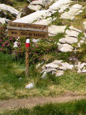
Marking
The itinerary has no special marking. In some parts, the itinerary shares parts with the GR 11, where we will find red and white marks. Other parts are marked with wooden posts painted in yellow, and most of the time we will follow the route thanks to the milestones (a heap of stones) that other mountaineers left before for us. Using a map is an essential requirement.
Terrain
The crossing develops totally along a high-mountain terrain, with granite blocks, landslides, and paths that keep alternating in each of the stages.
Forfeit
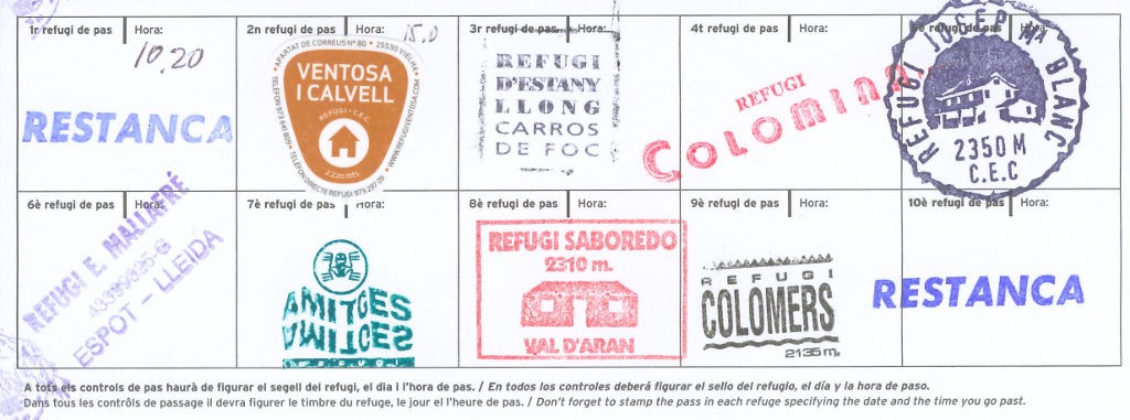
It is a card that will be marked with a stamp in each of the refuges we go past. It costs 35 € and with it, you get a map of the itinerary on a 1:50000 scale from the expert name in maps, Editorial Alpina and a gift from our Sponsor Ferrino.
The forfeit will be collected at the start shelter; except in the area of Espot (Refugio Mallafré, Amitges and JM Blanc) that will be collected in the town of Espot, in the Tu Rai store by taxi stop. (From 9 to 8.00 pm)
If you are uncertain about how to organize the stages, we can help you.
Insurance
To be on the safe side, insurance can be provided in case of an accident while doing the Carros de Foc. It costs about:
- 1 day: 16,00 €
- 3 day: 27,00 €
- 6 day : 38,50 €
- 10 day: 45,00 €